DATA
PROCESSING
LAB
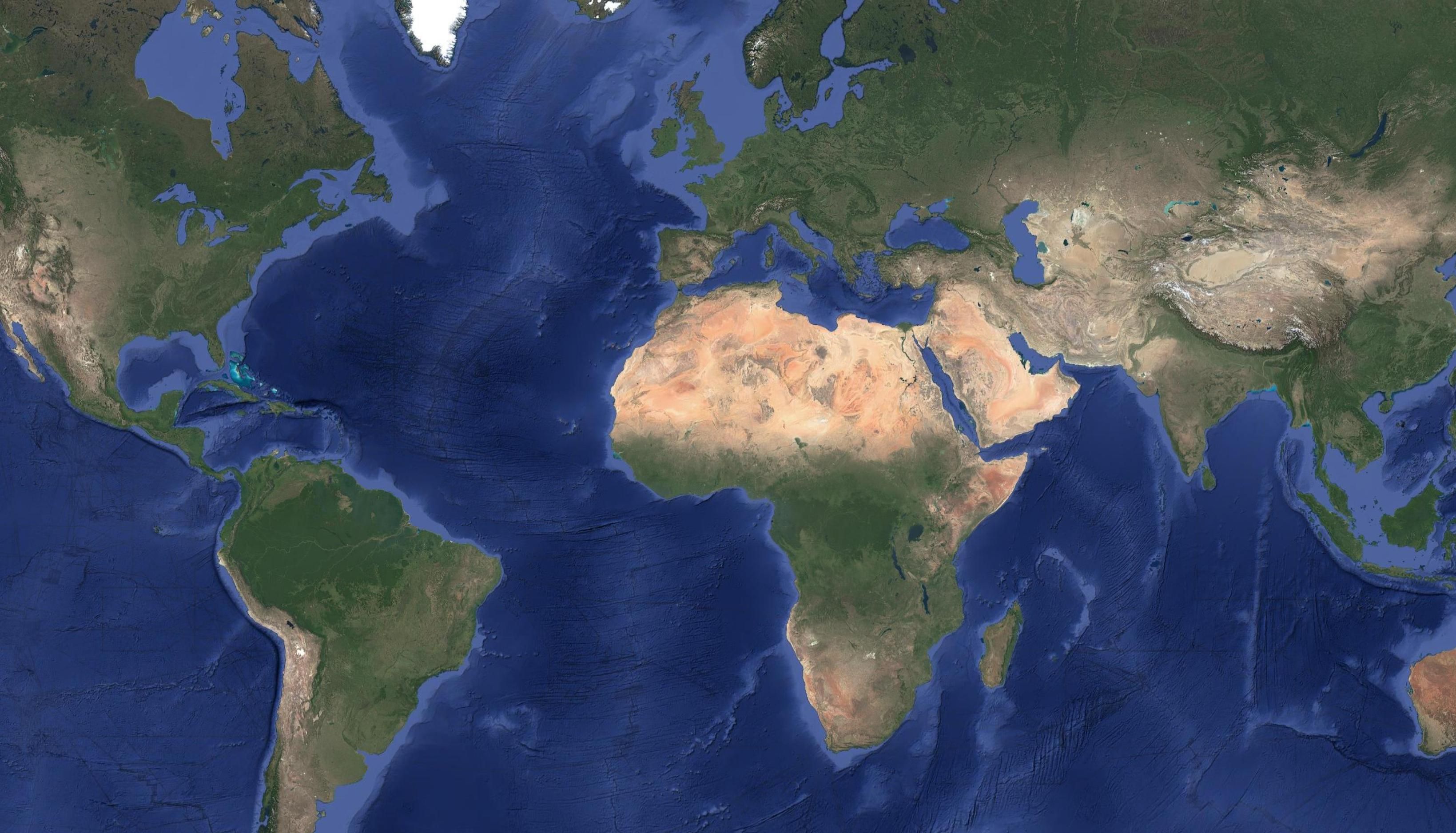
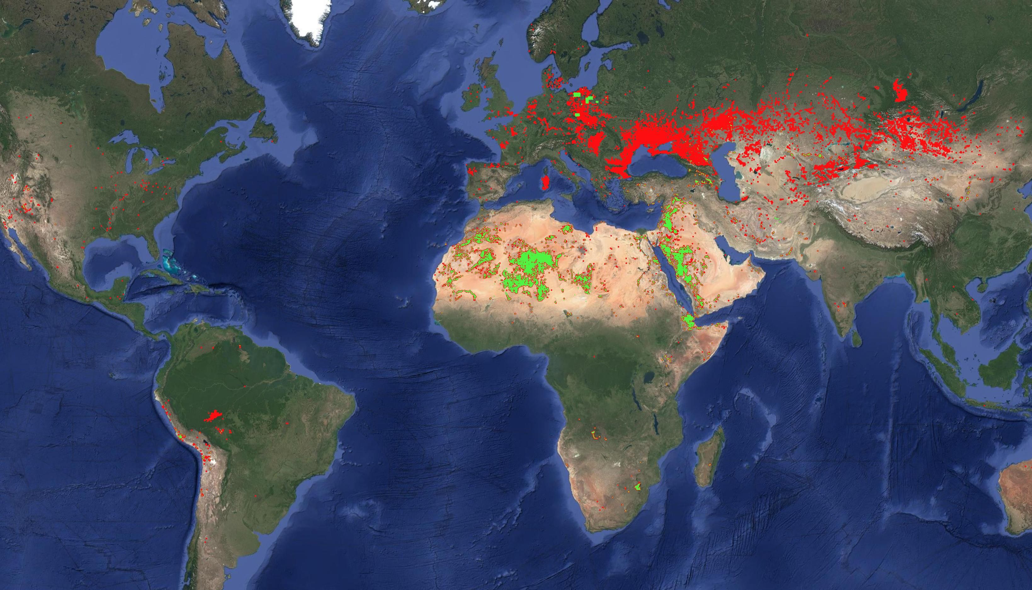
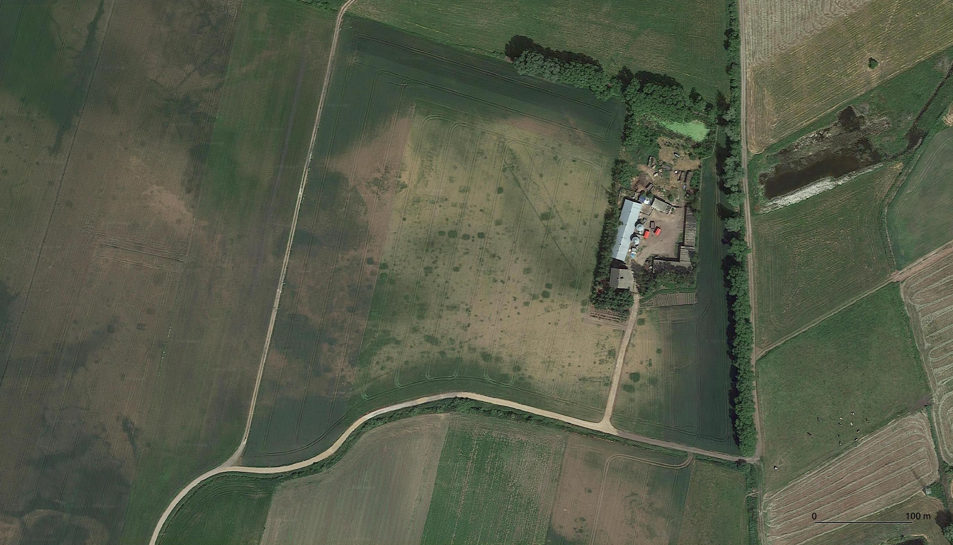
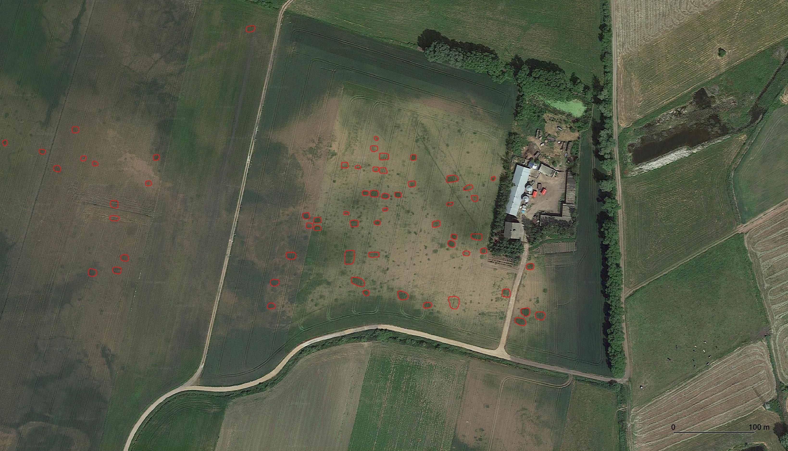
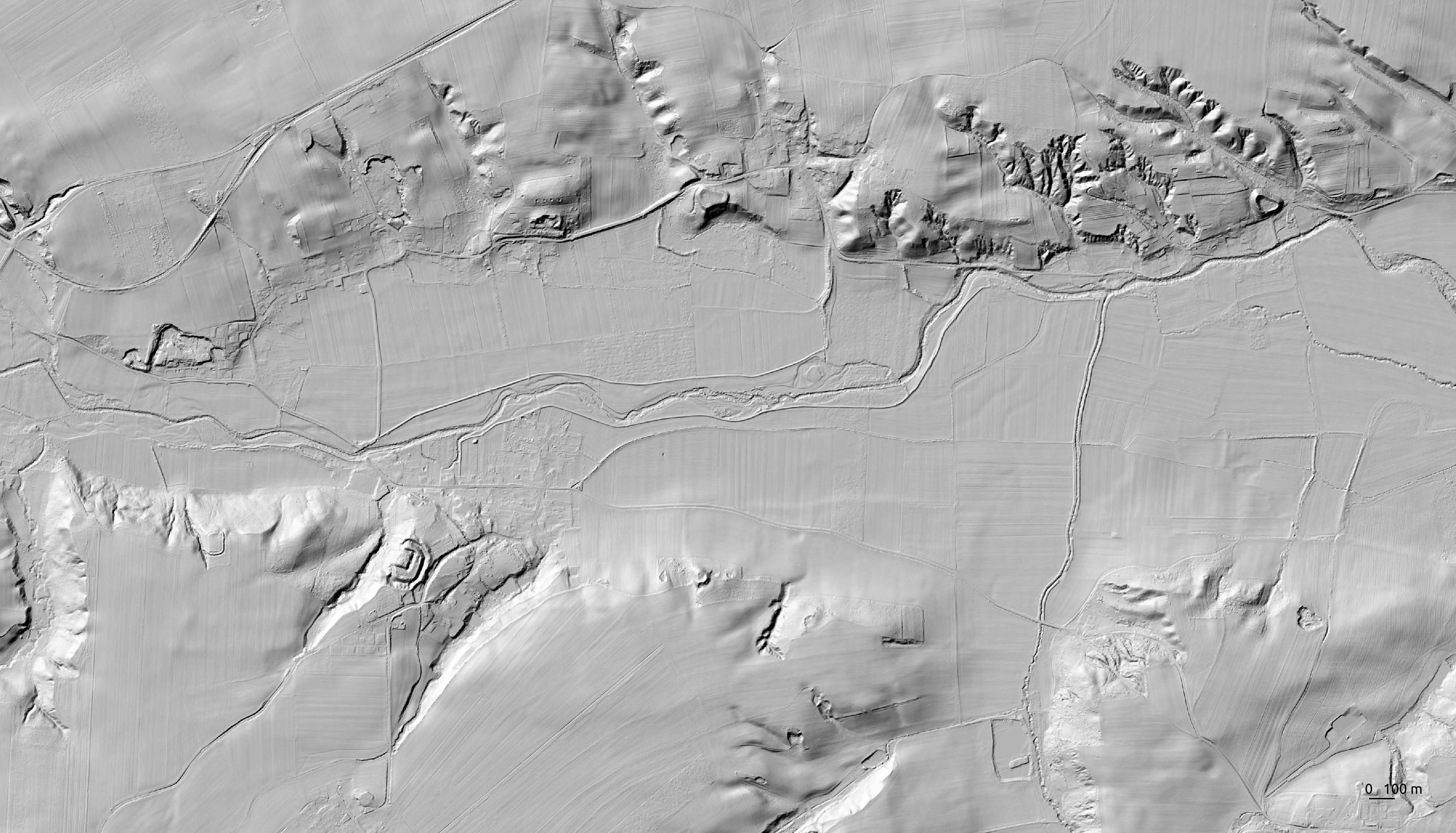
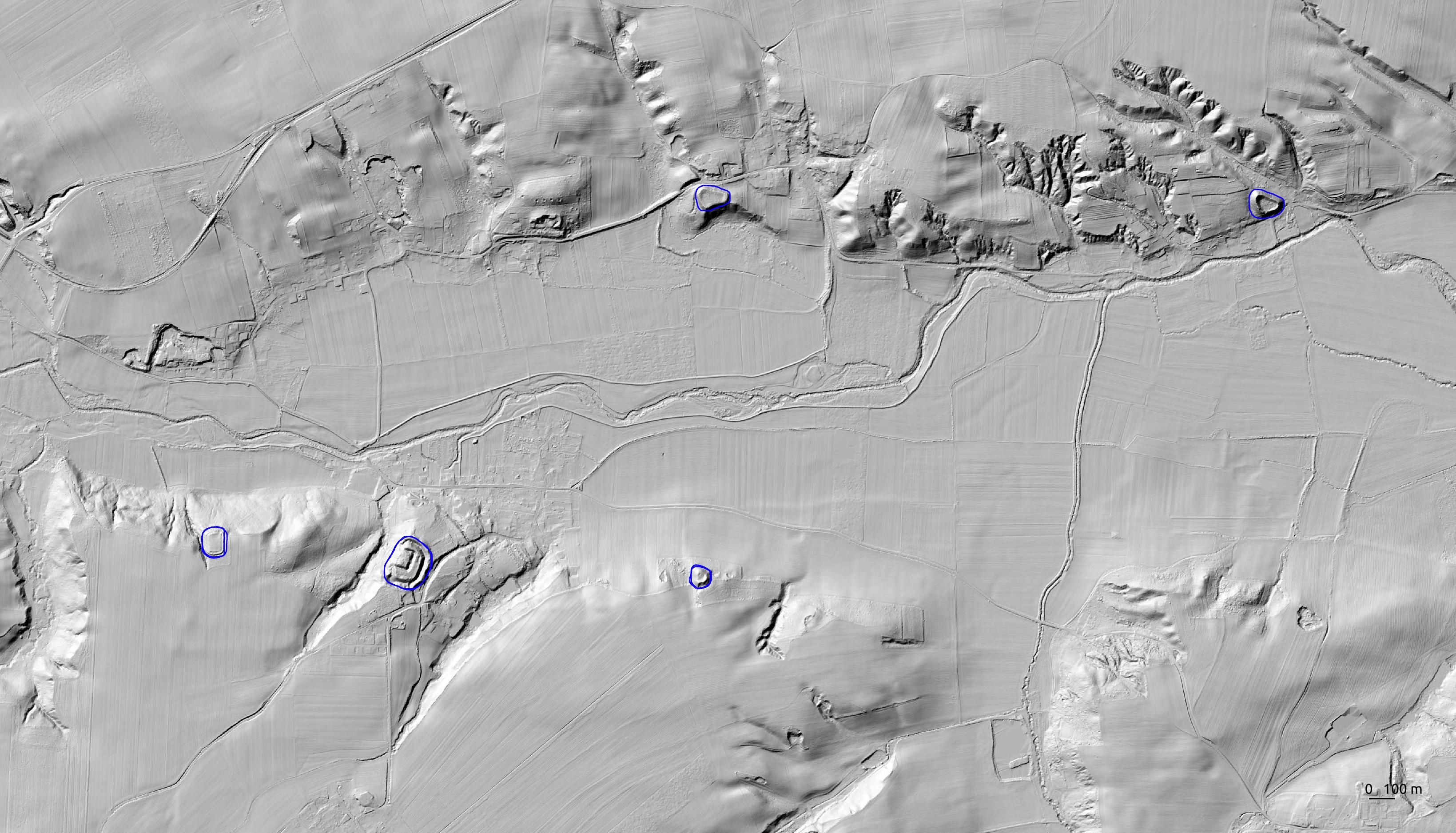
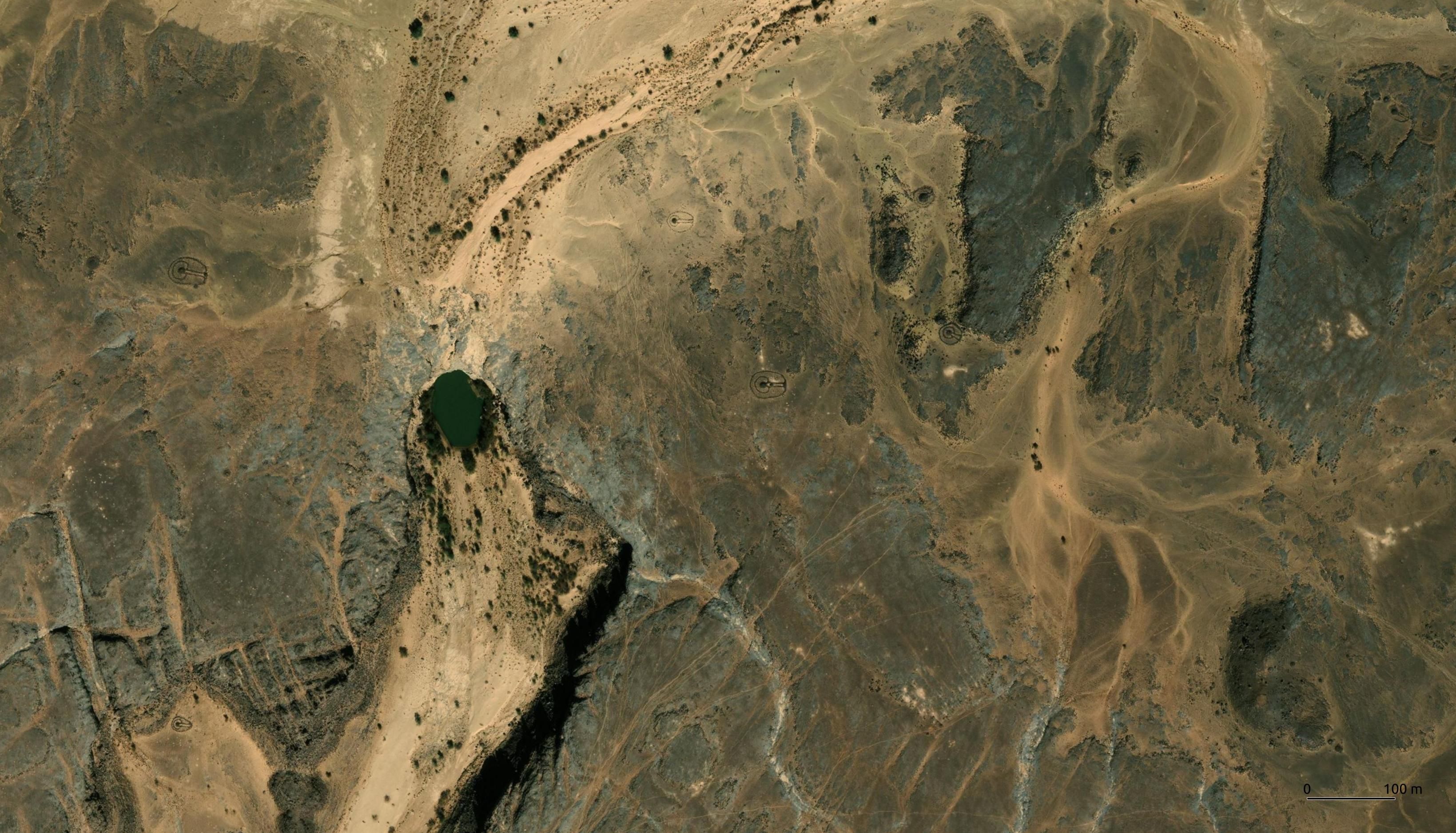
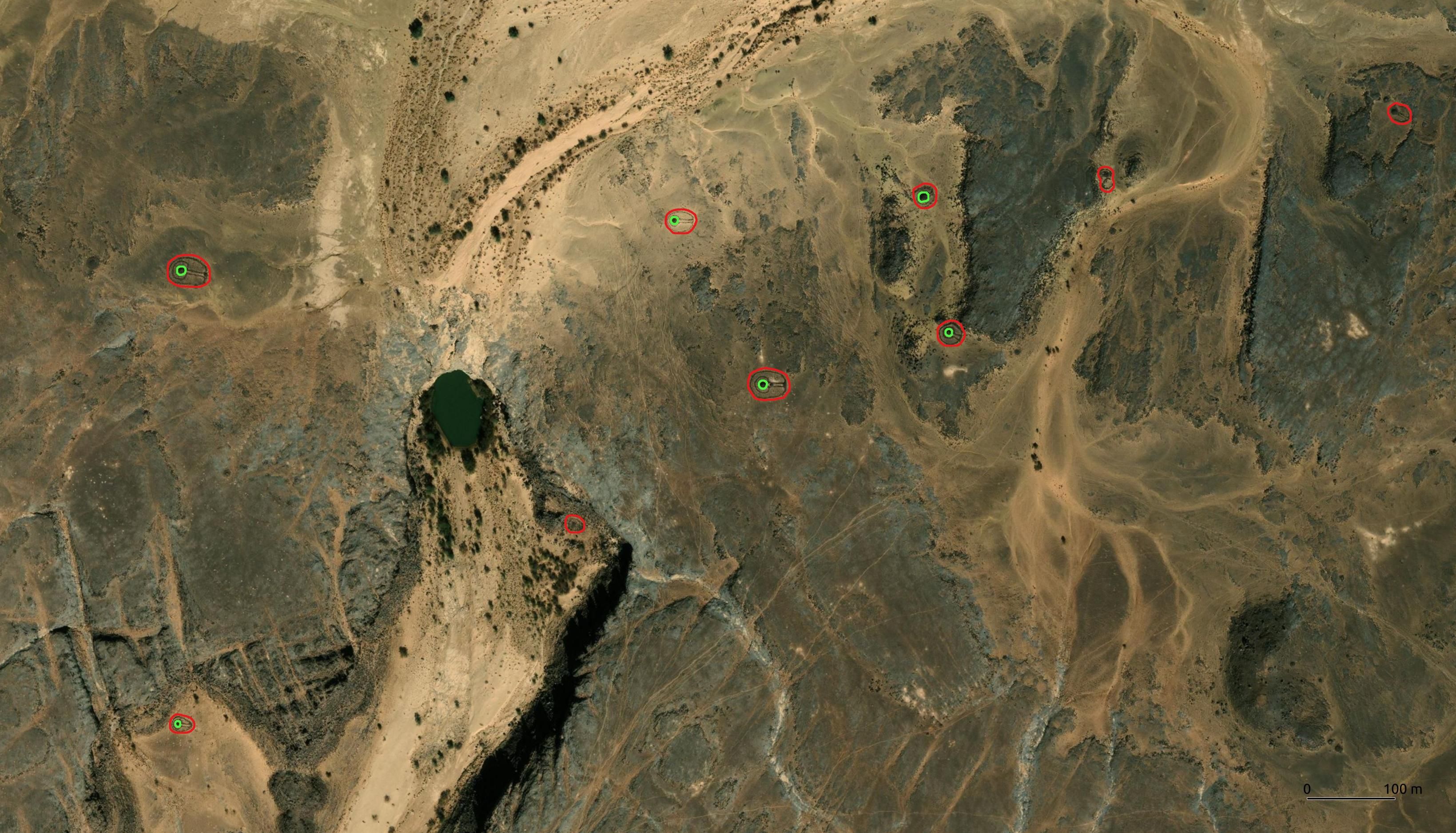
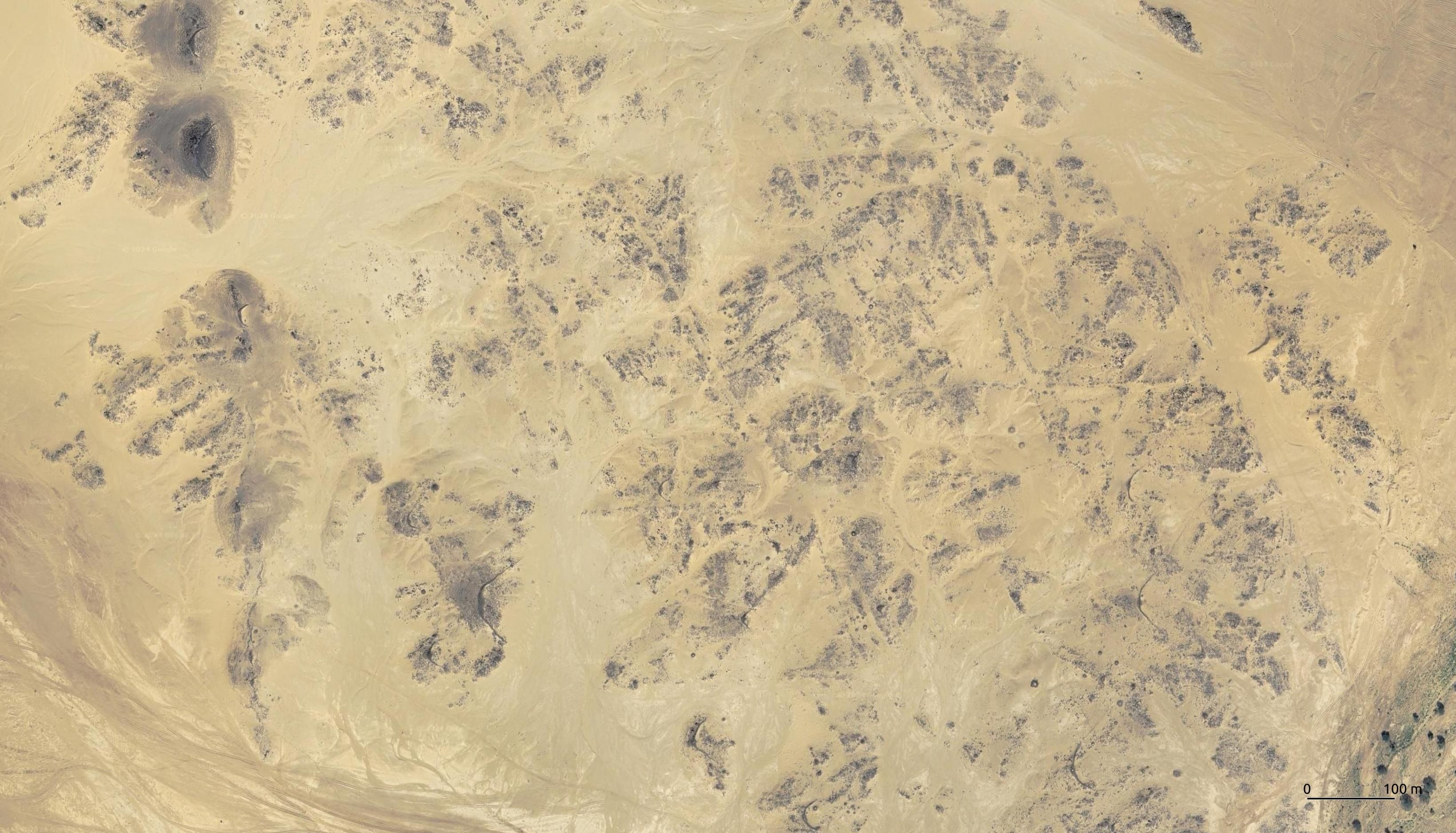
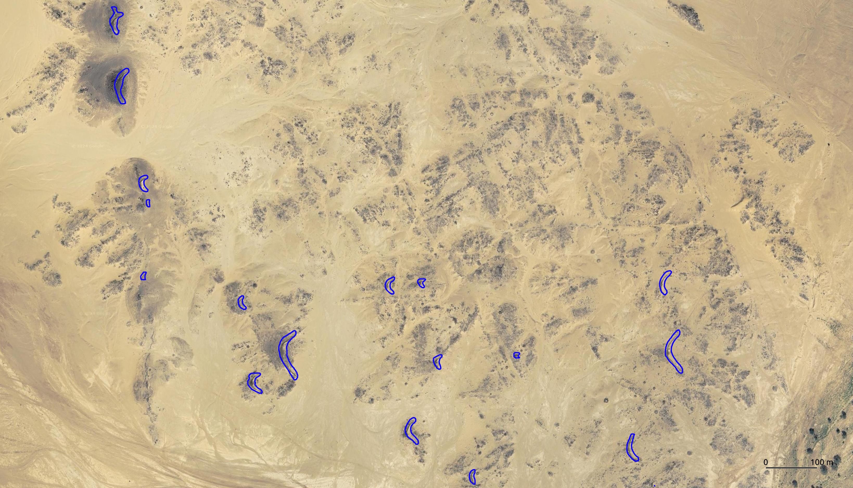
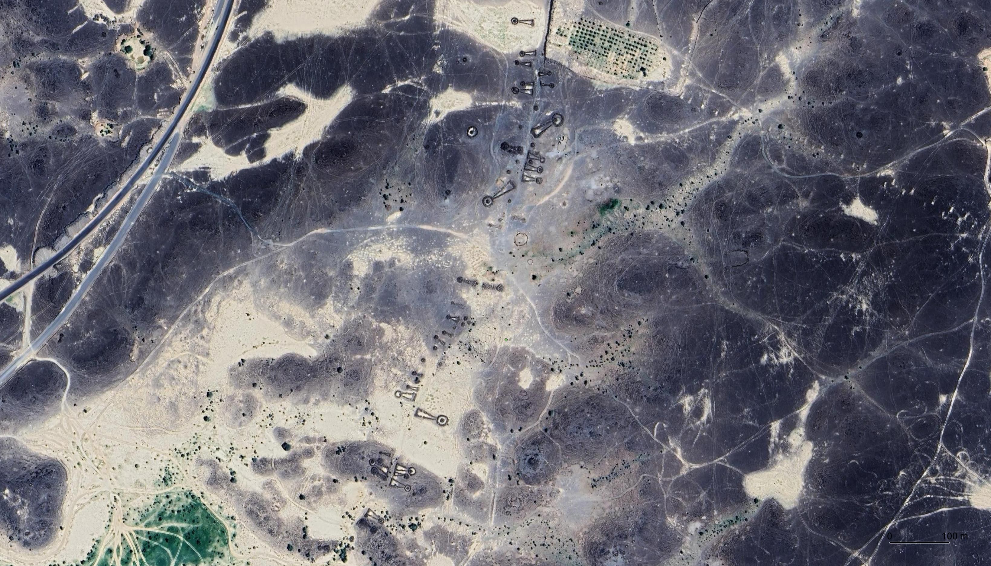
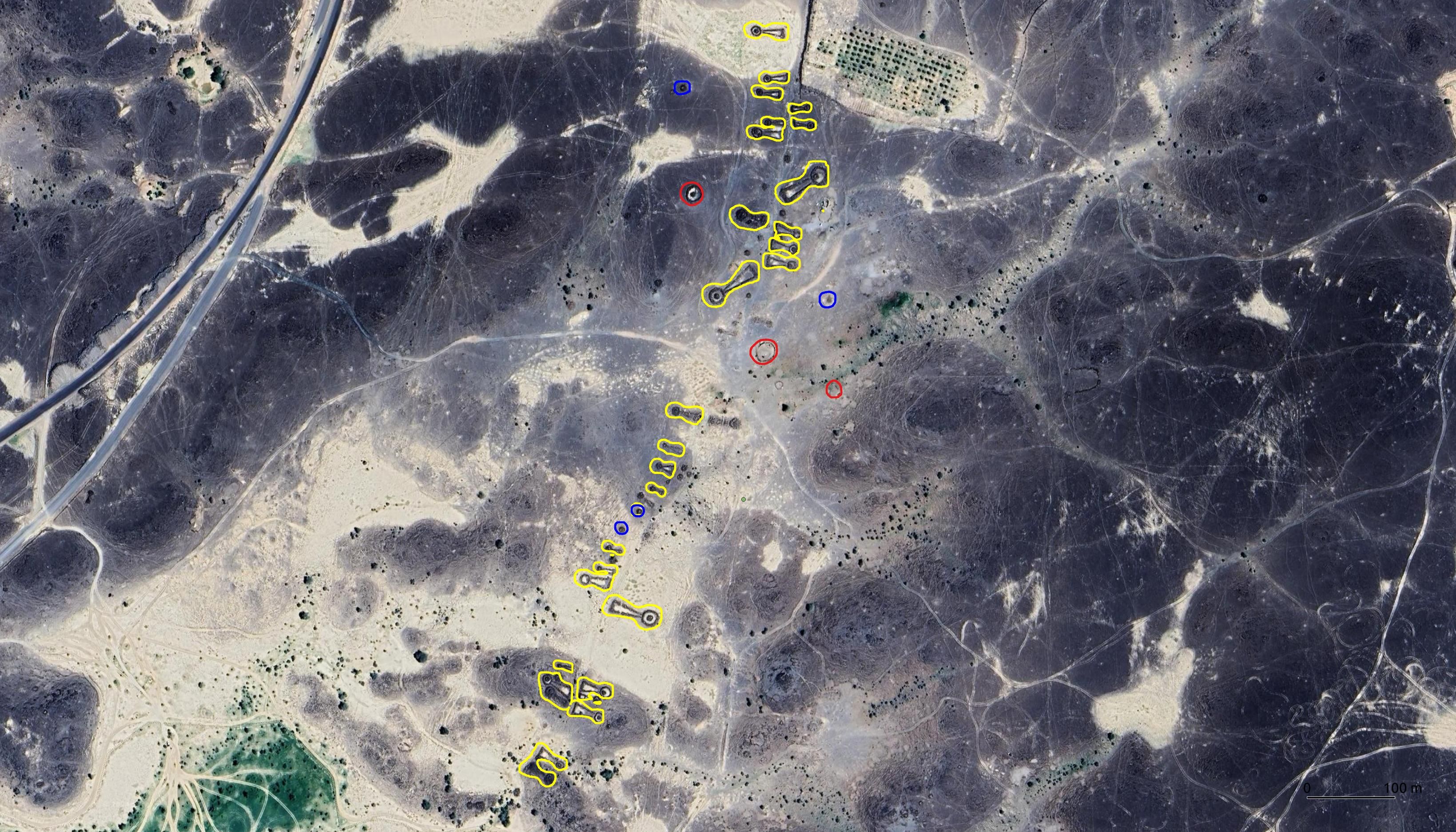
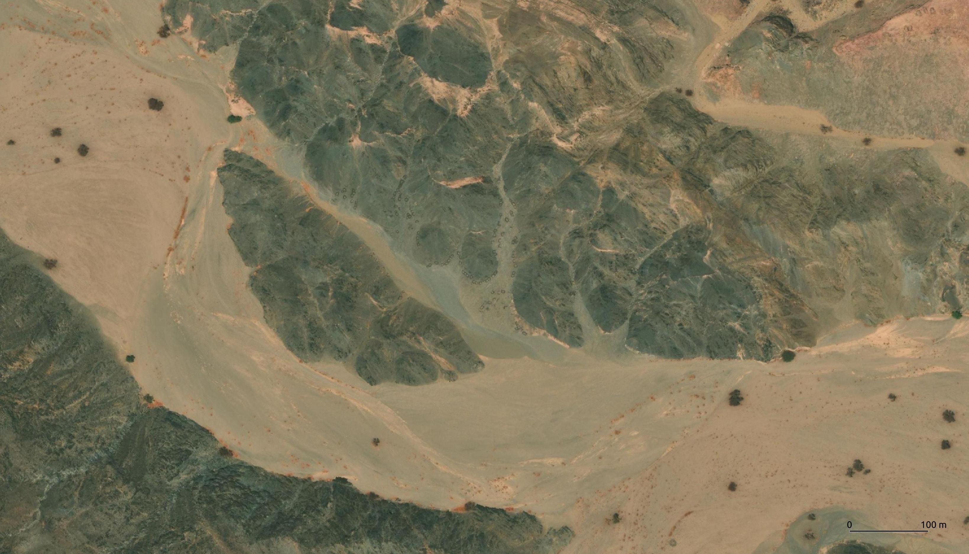
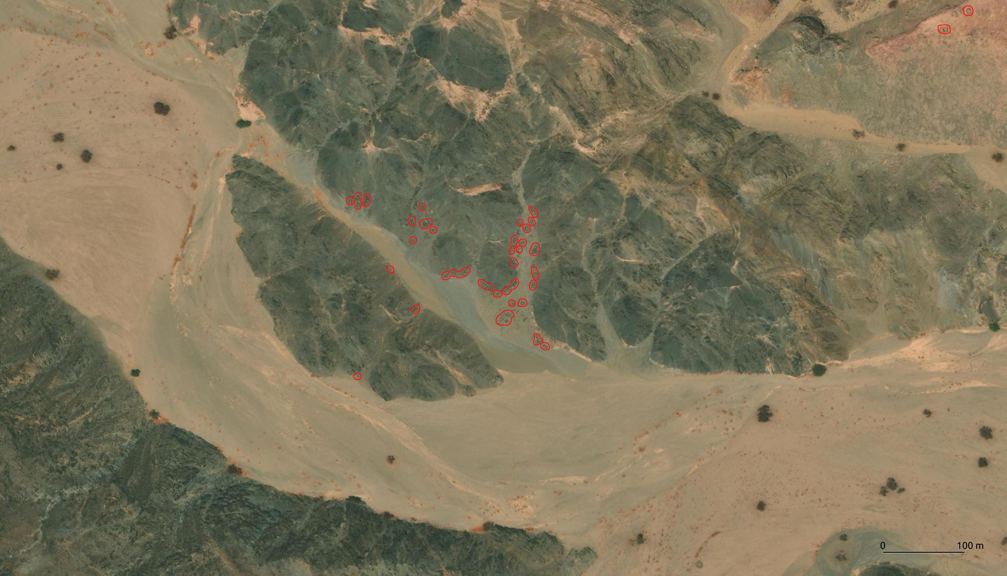
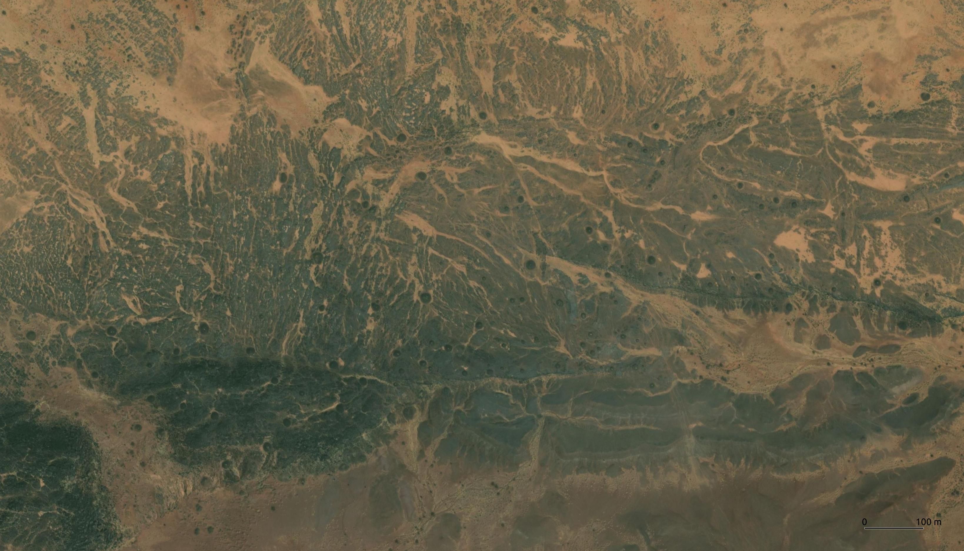
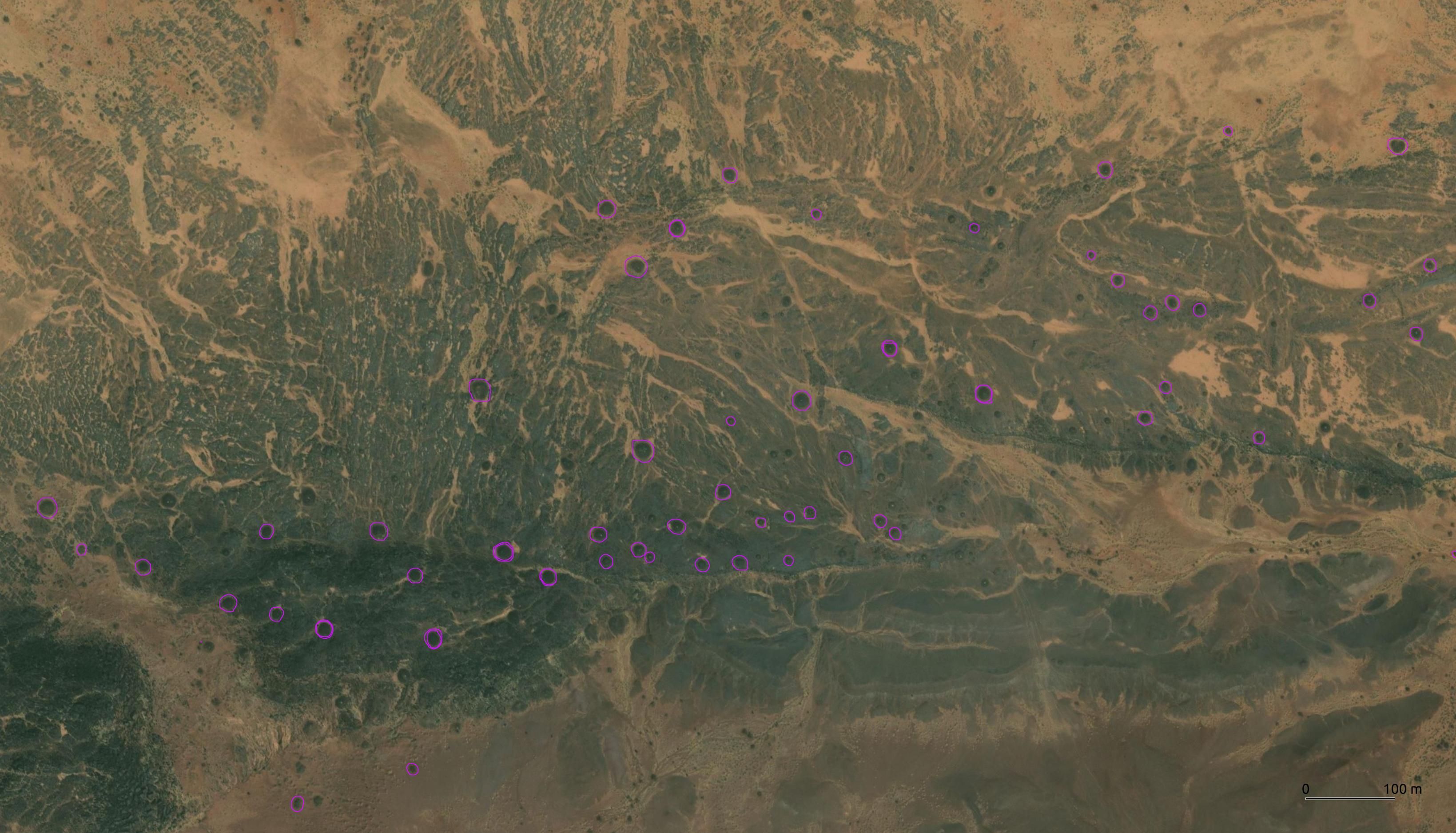
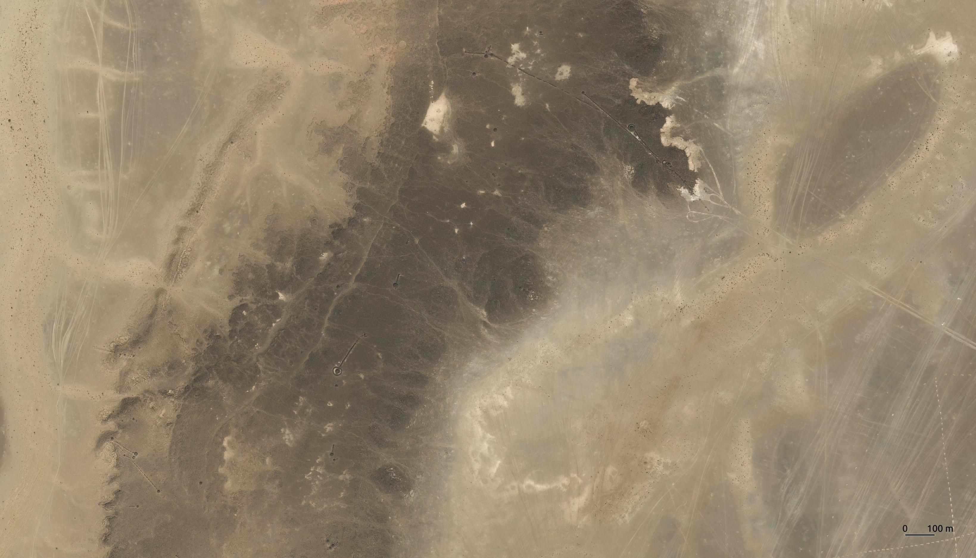
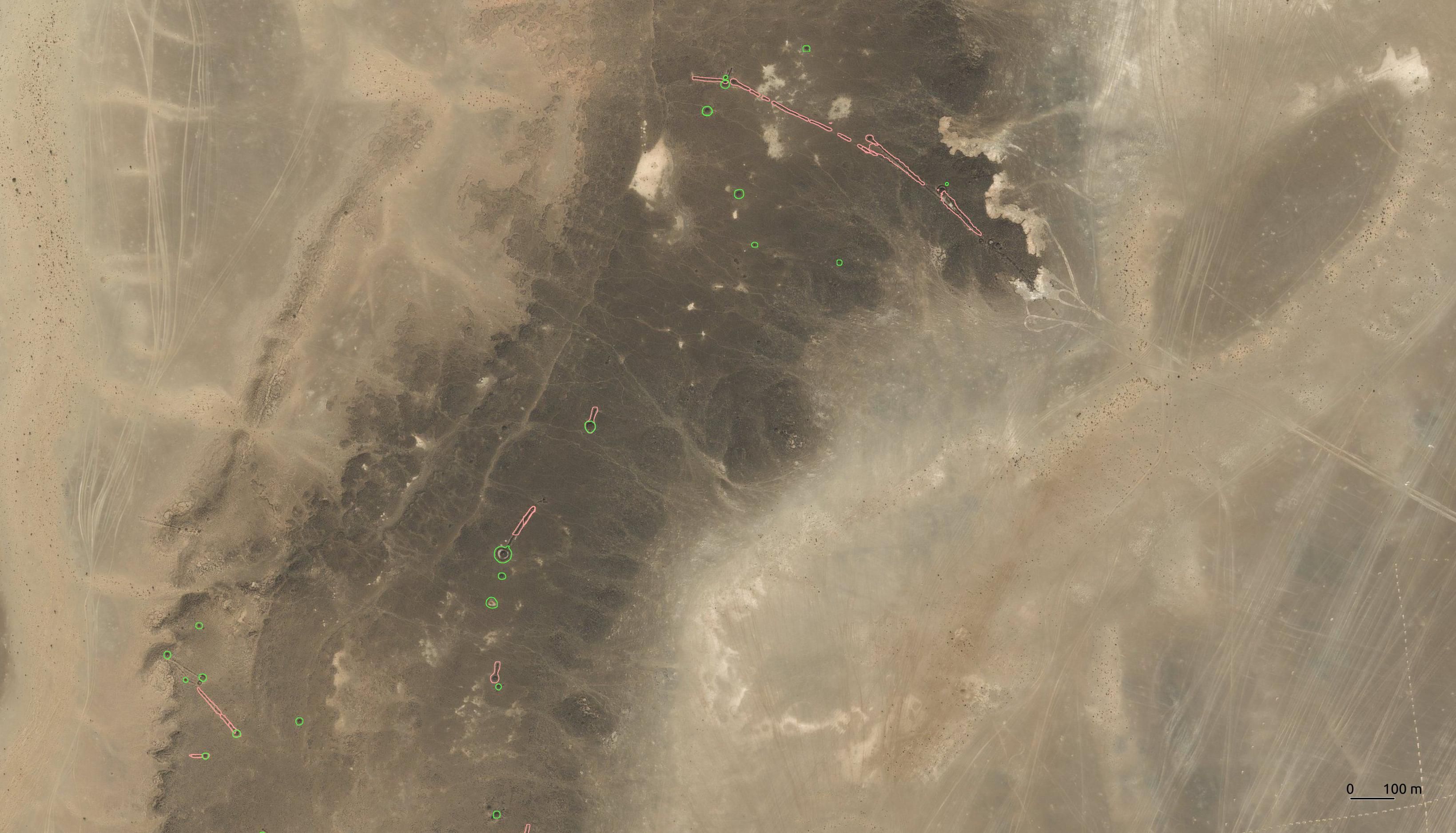
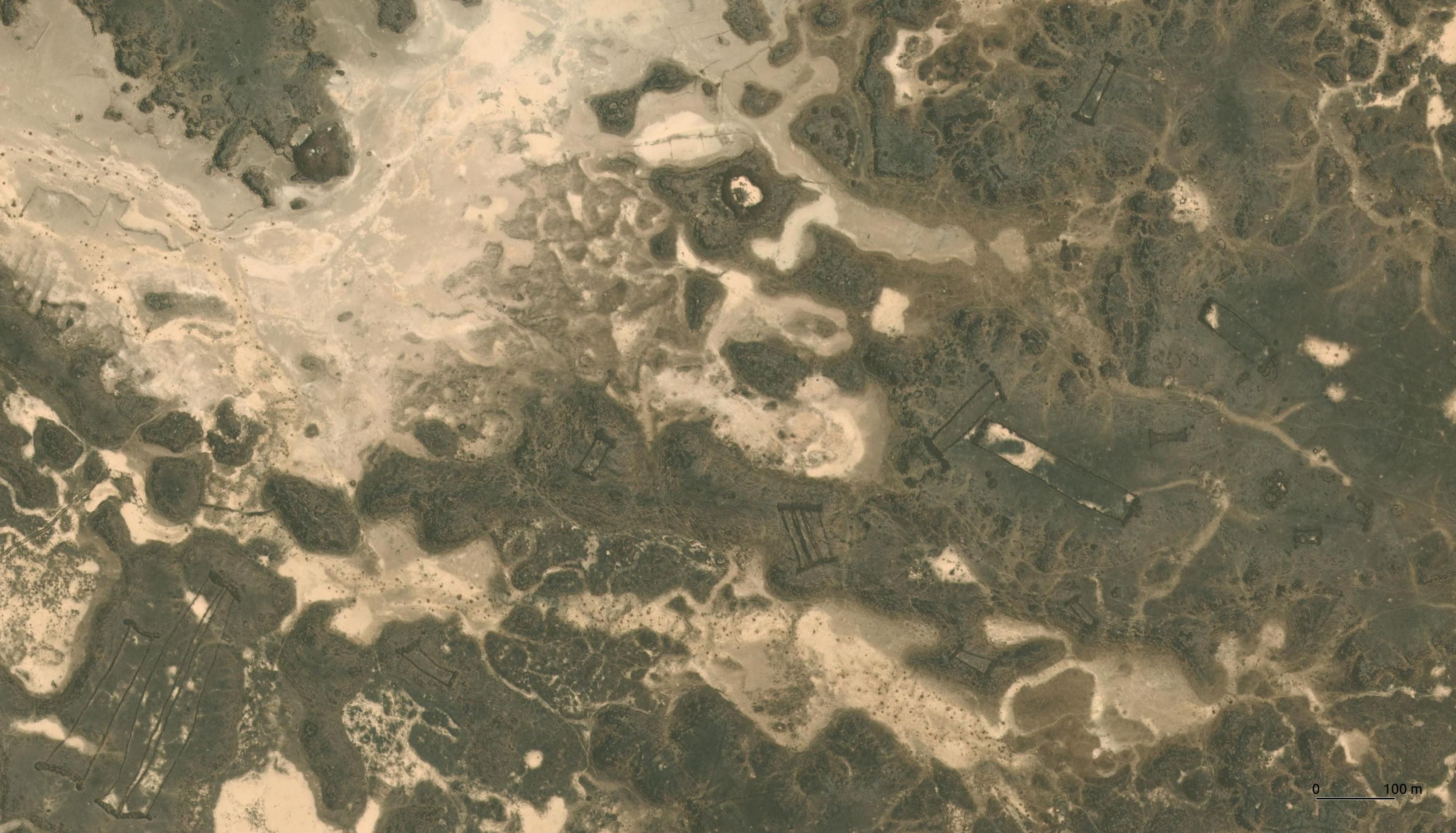
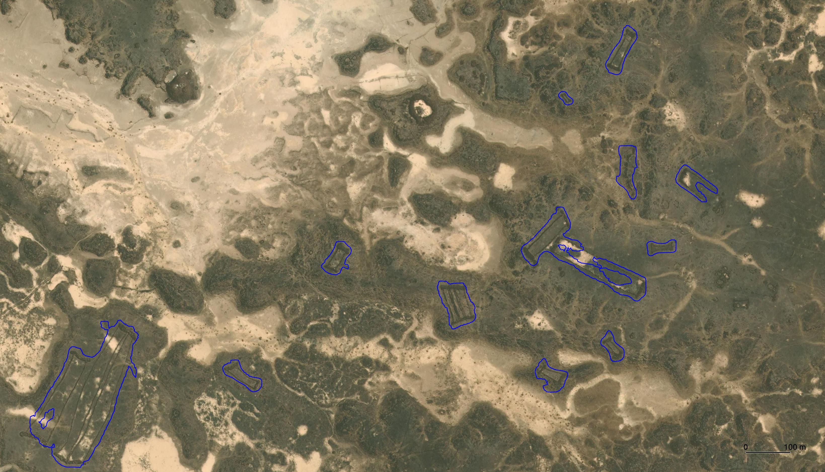
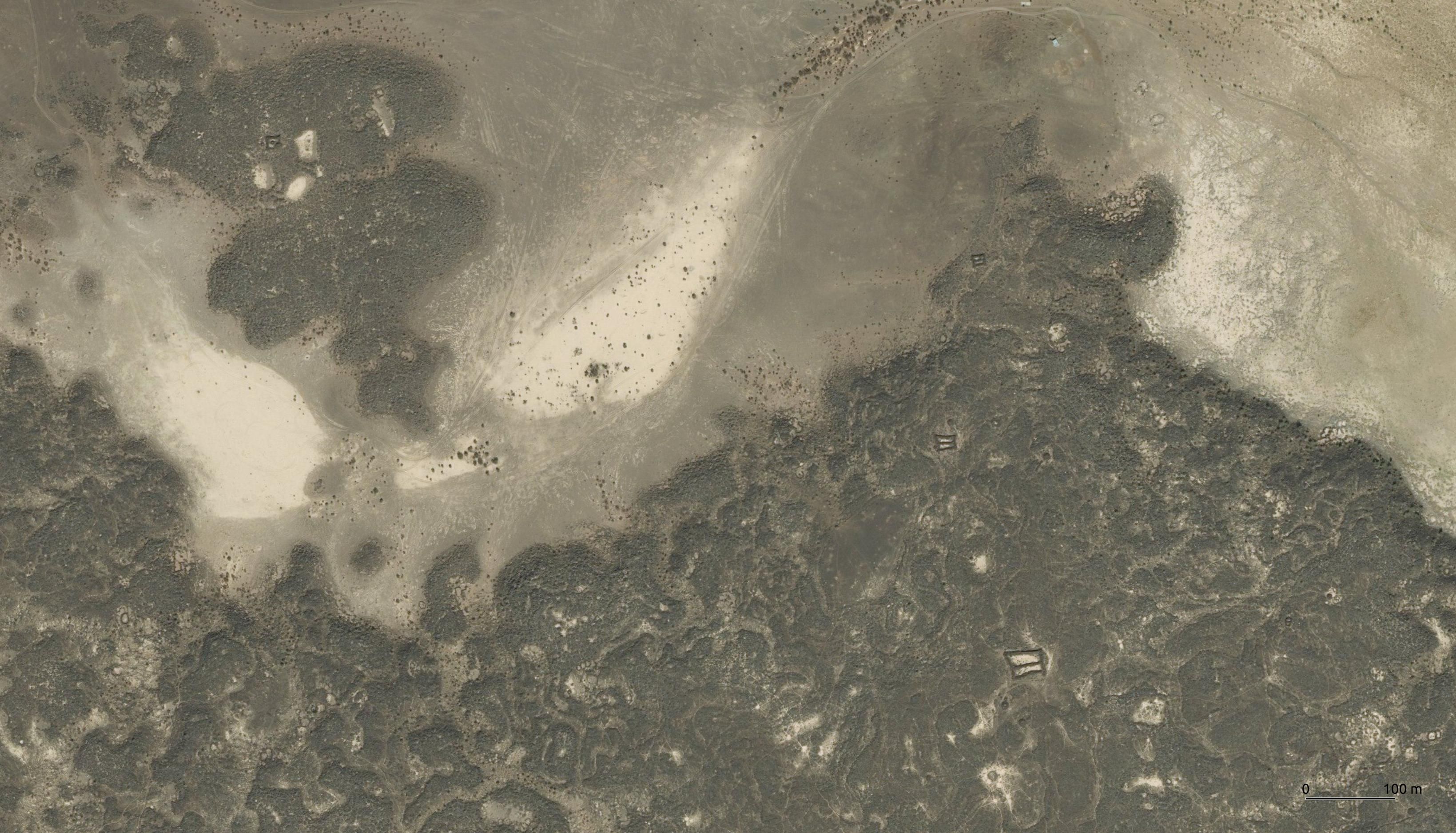
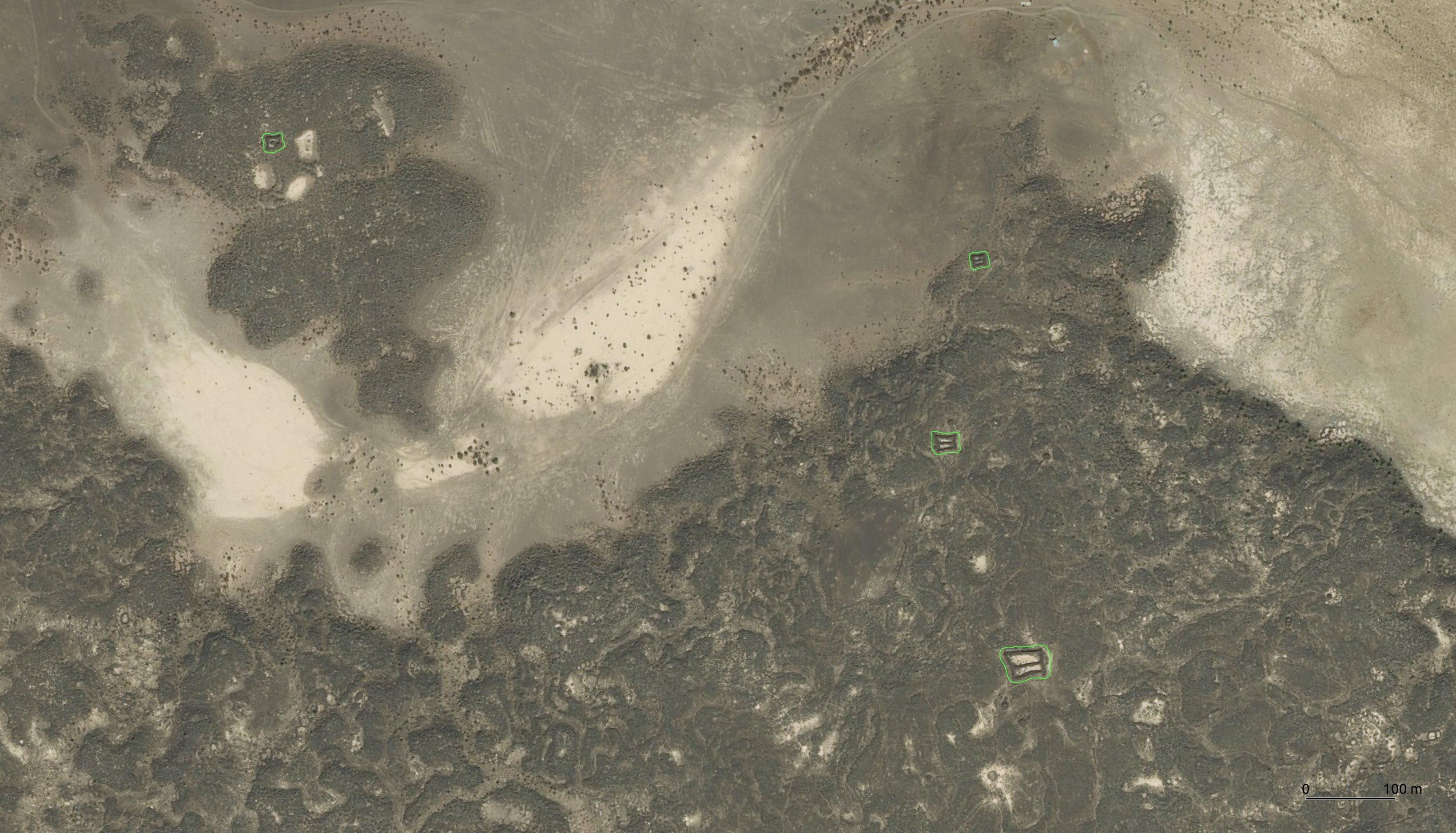
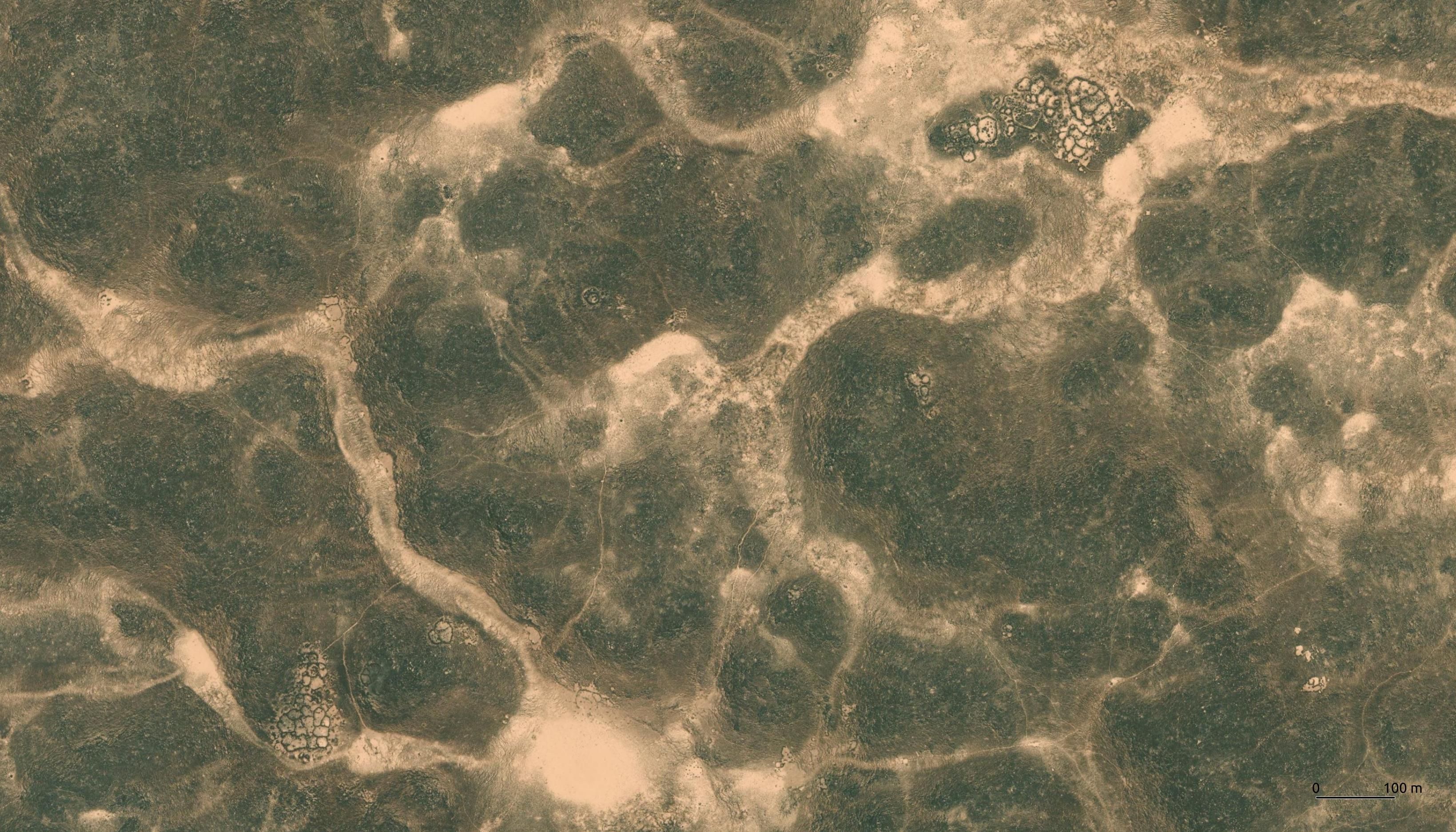
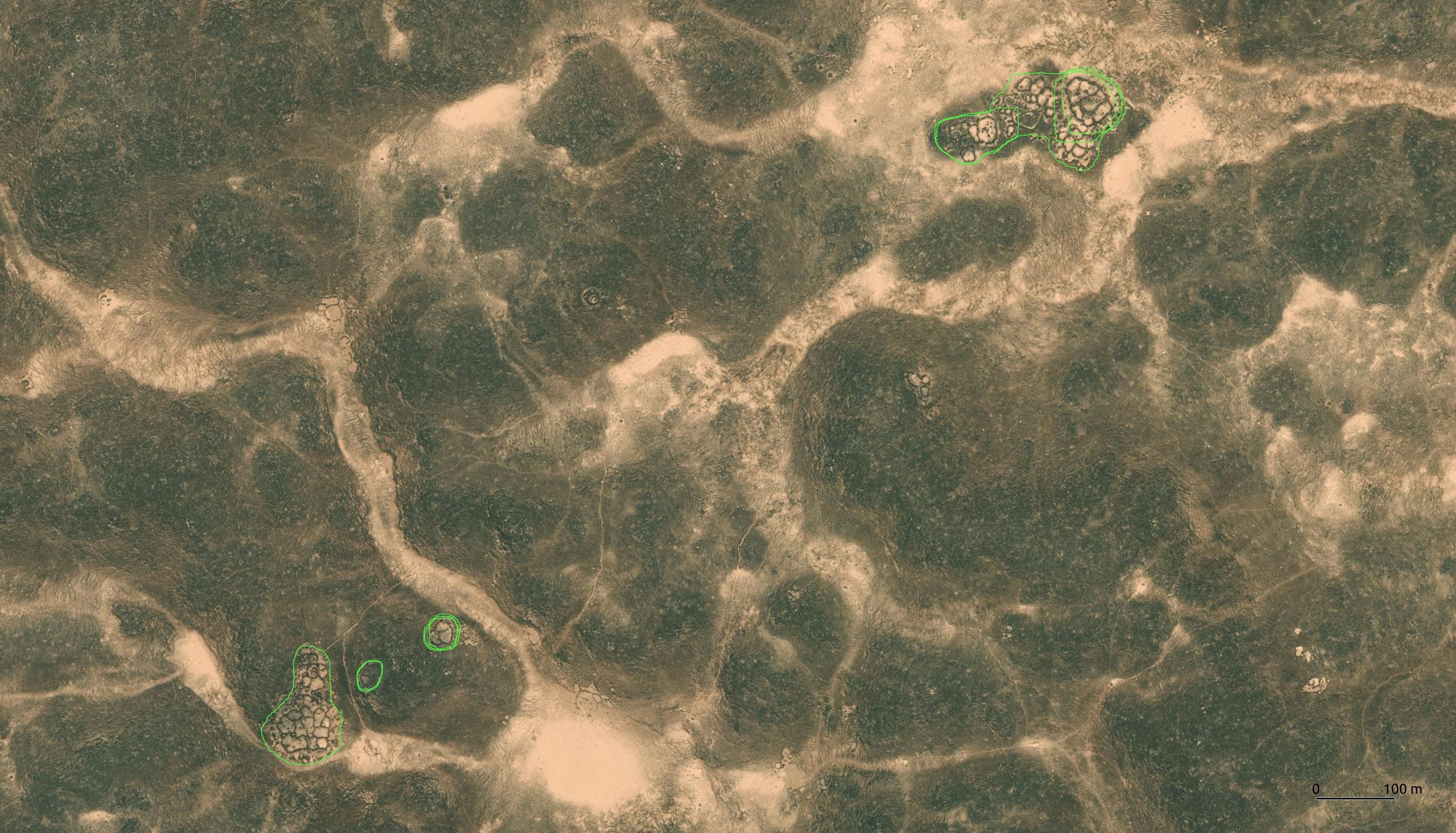
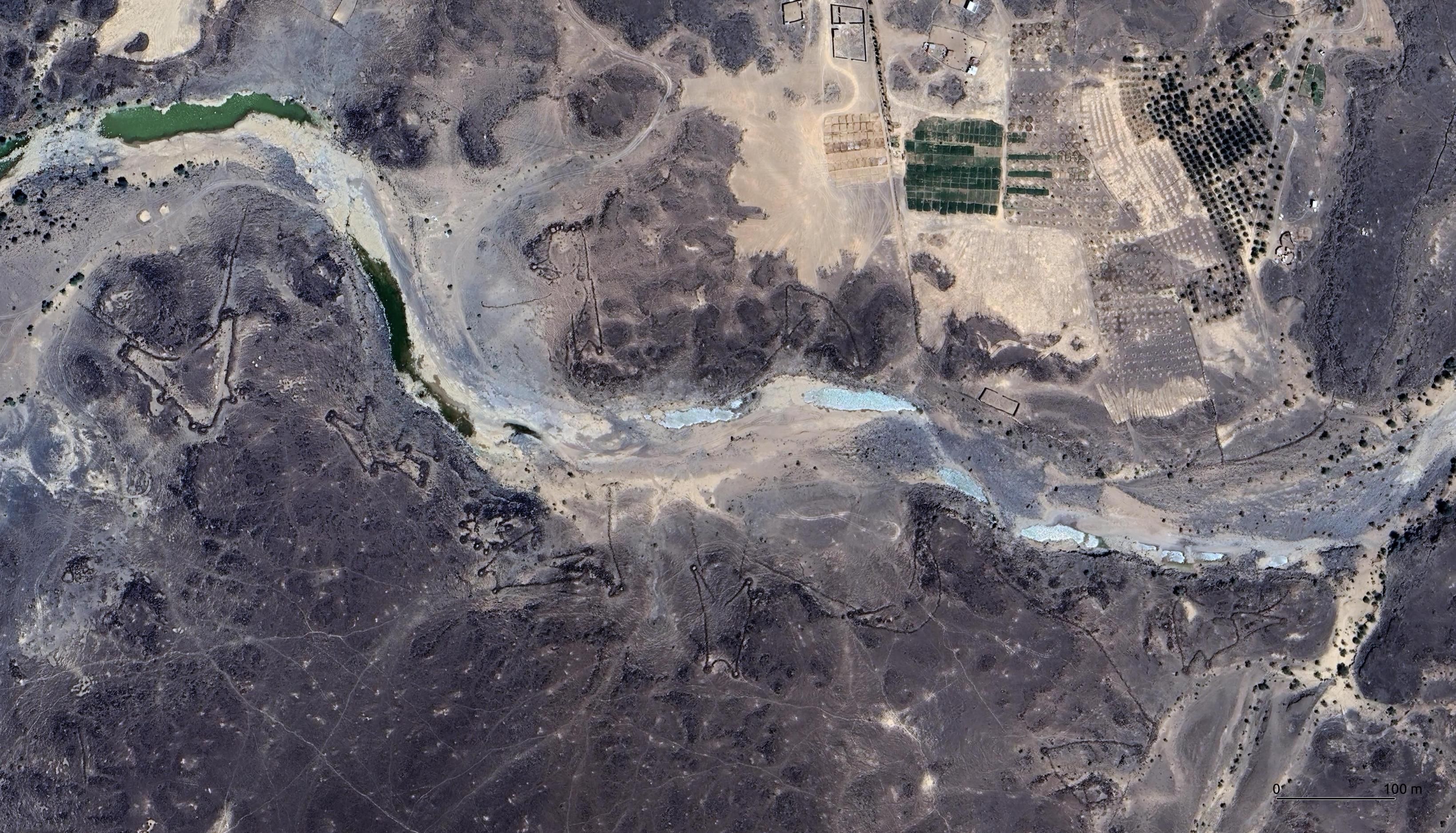
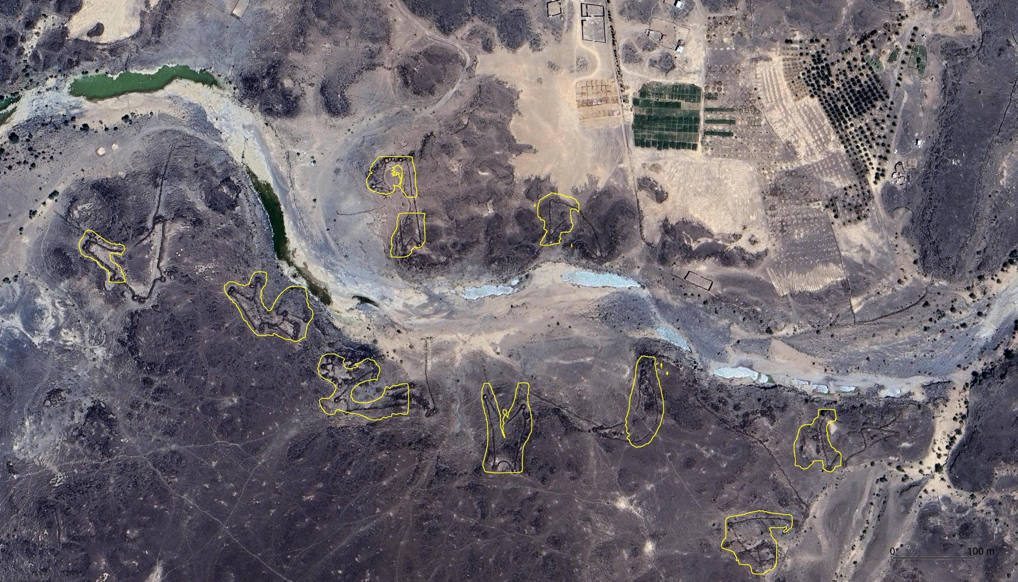
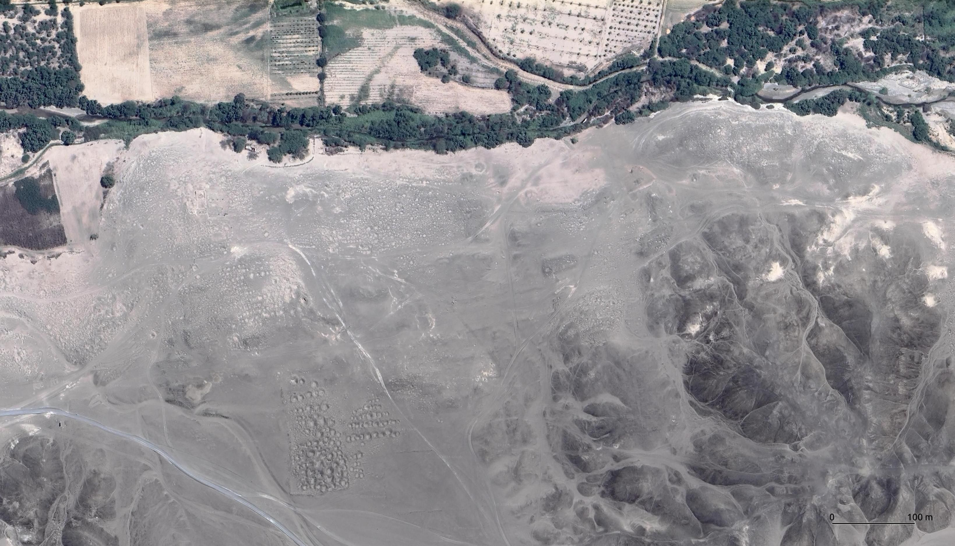
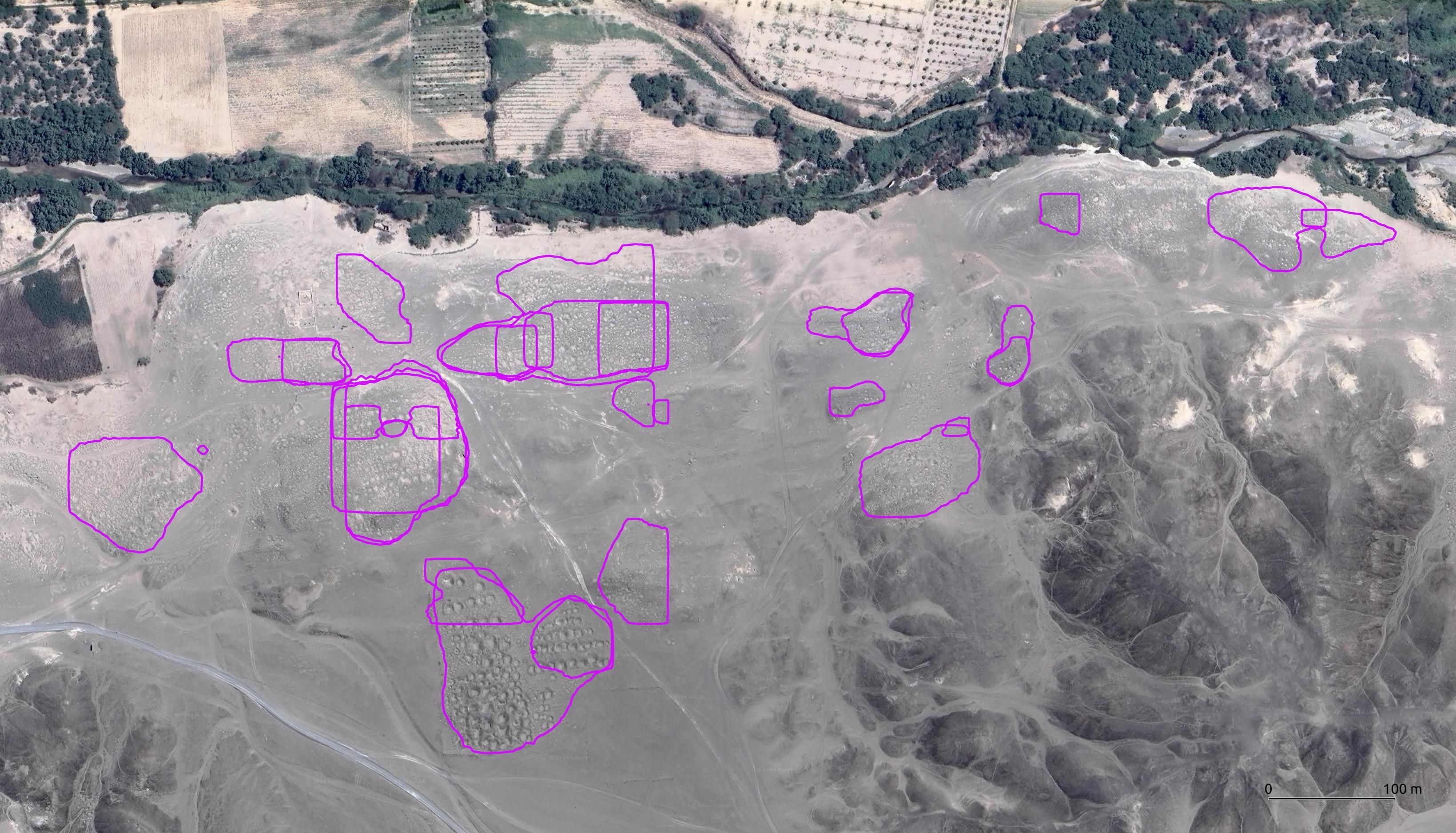
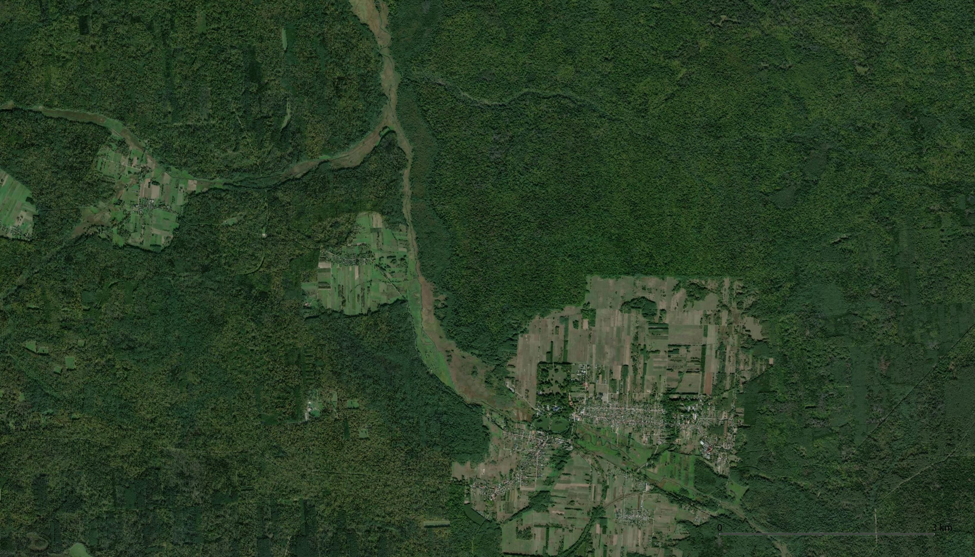
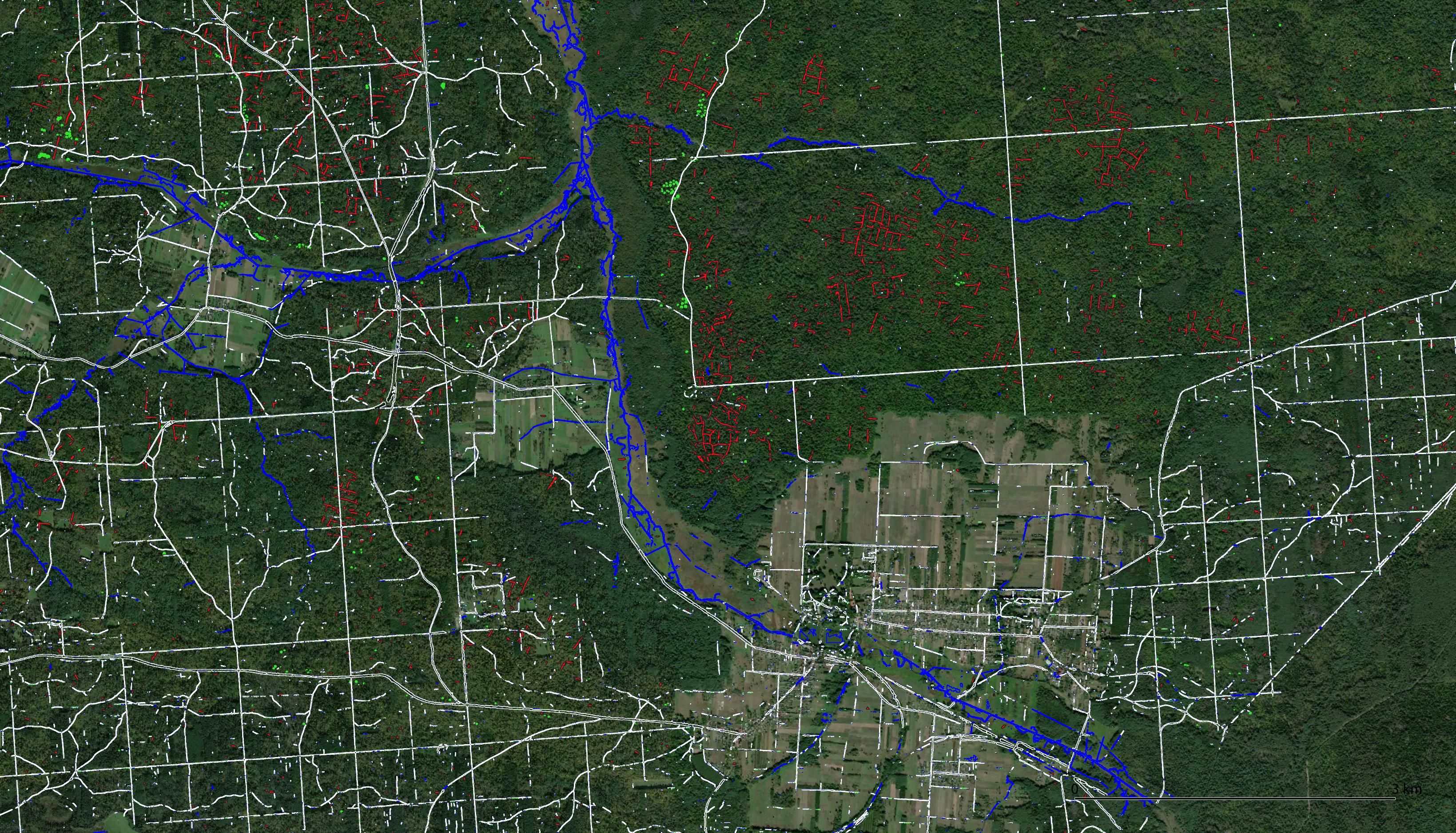
Global archaeological remote sensing and AI-based feature detection. Manual navigation lets you compare raw imagery, annotations and detected structures.
About the project
We are a team of satellite and aerial imagery enthusiasts focused on archaeological feature detection using Deep Learning and geospatial analysis.
"Semantic Segmentation (U-Net) of Archaeological Features in Airborne Laser Scanning
-Example of the Białowieza Forest."
MDPI Remote Sensing Paper
"Application of shallow geophysical methods and machine learning for detecting remains
of early medieval settlements."
EGU24 Presentation
Pawel Banasiak
Piotr Berezowski
Konrad Duraj
Manfred Boelke
Gabor Szilagyi
pawel@dataprocessinglab.com